Achieve 8-Star Data Quality
SPALOD is a secure, scalable platform designed to accelerate the metadata maturity of your geospatial data. Go beyond FAIR principles with a system that integrates 3D workflows, semantic web technologies, and robust security for unparalleled data governance.
Core Features
Data Conversion
Automatic conversion of vector data to GeoJSON and semantic integration into a DCAT/GeoSPARQL hierarchy.
3D Workflows
Upload georeferenced point clouds, generate footprints, and leverage in-platform AI for classification.
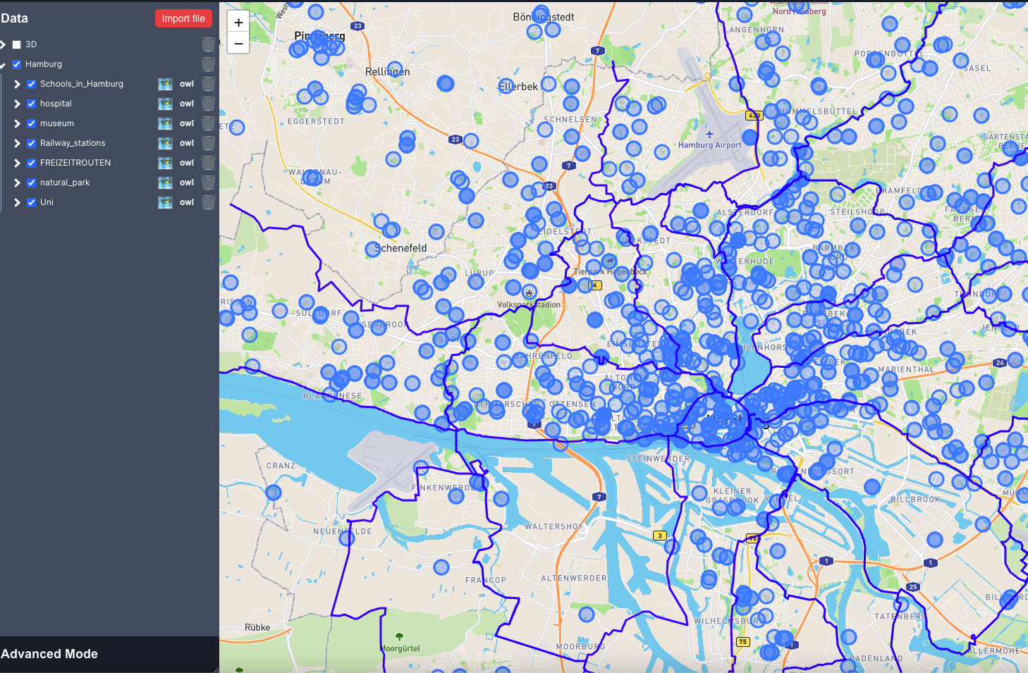
Scalable Visualization
Efficiently display millions of items on the map with server-side filtering and advanced queries.
Enterprise Security
GitLab SSO, token-based API, fine-grained access control, and SPARQL guardrails ensure your data is secure.
Service operated in France. Offer valid for 30 days. Contact us for custom integration options.